India Finalizes Arunachal Map Amid China Dispute
India maps Arunachal Pradesh, China builds structures
'%3E%3Crect%20width%3D'96'%20height%3D'96'%20fill%3D'%234A235A'%2F%3E%3Ccircle%20cx%3D'30'%20cy%3D'24'%20r%3D'44'%20fill%3D'%23fff'%20opacity%3D'.12'%2F%3E%3Ccircle%20cx%3D'60'%20cy%3D'74'%20r%3D'40'%20fill%3D'%23000'%20opacity%3D'.10'%2F%3E%3C%2Fg%3E%3Cg%20fill%3D'none'%20stroke%3D'%23fff'%20stroke-width%3D'3'%3E%3Ccircle%20cx%3D'48'%20cy%3D'48'%20r%3D'16'%2F%3E%3Cellipse%20cx%3D'48'%20cy%3D'48'%20rx%3D'6.5'%20ry%3D'16'%2F%3E%3Cline%20x1%3D'32'%20y1%3D'42'%20x2%3D'64'%20y2%3D'42'%2F%3E%3Cline%20x1%3D'32'%20y1%3D'54'%20x2%3D'64'%20y2%3D'54'%2F%3E%3C%2Fg%3E%3C%2Fsvg%3E)
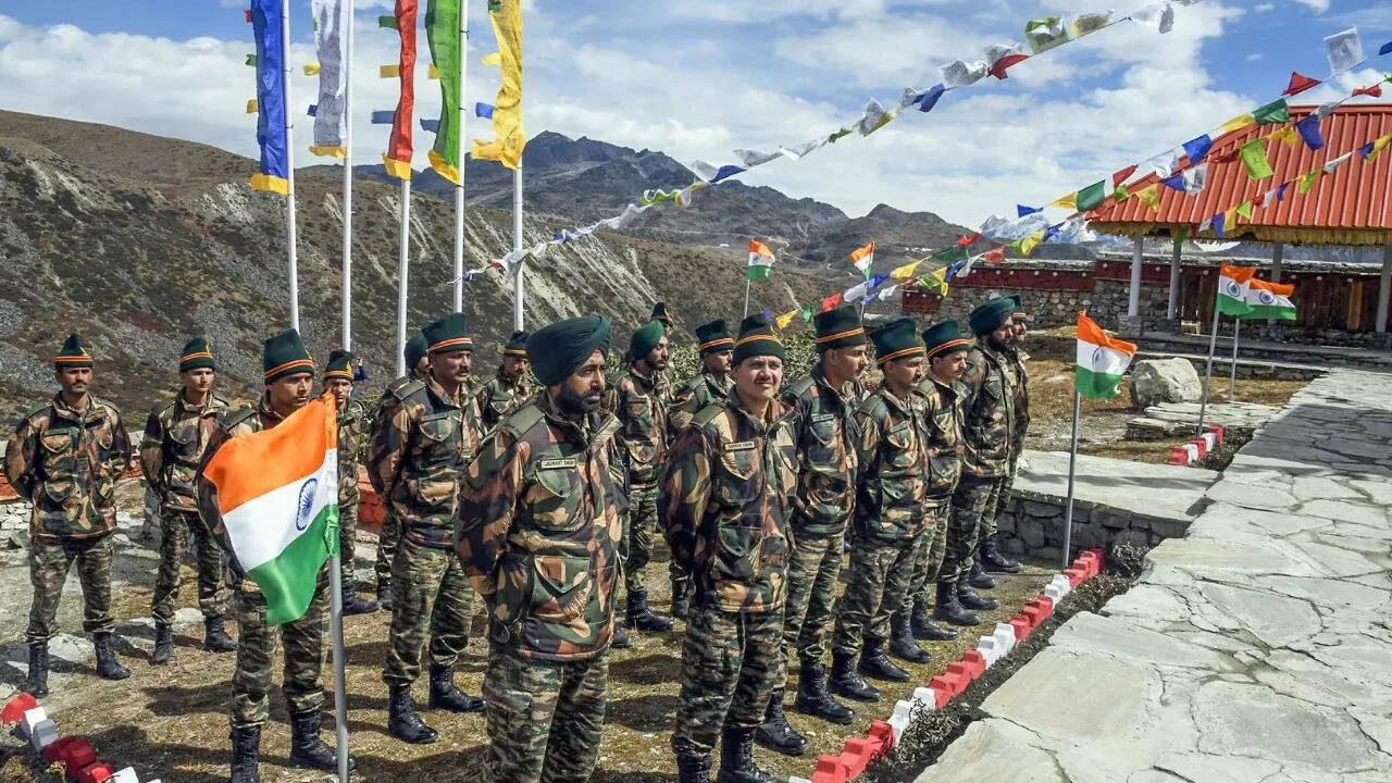
India has finalized its official mapping of the contested frontier areas of Arunachal Pradesh, a region that has been at the center of a longstanding territorial dispute with China. The mapping initiative encompasses crucial sites such as Asaphila and Maja, and effectively bolsters India's stance regarding the ongoing dispute.
The People's Liberation Army of China has responded to India's mapping initiative by erecting various structures and roadways in the disputed territories. This move is seen as an attempt by China to consolidate its claim over the region.
Historical conflicts have marked this sensitive border, with both countries having differing claims over the territory. The dispute has been a major point of contention between India and China, with both countries having engaged in diplomatic and military efforts to assert their claims.
The mapping initiative is a significant development in the dispute, as it provides a clear definition of India's territorial claims. The move is also seen as a demonstration of India's commitment to protecting its sovereignty and territorial integrity.
Arunachal Pradesh is a strategically important region, located in the northeastern part of India. The region shares a border with China, and has been a focal point of the territorial dispute between the two countries.
The dispute over Arunachal Pradesh is not a new development, and has been ongoing for several decades. The region was initially a part of the North-East Frontier Agency, and was later incorporated into the Indian state of Arunachal Pradesh in 1987.
China has consistently claimed that Arunachal Pradesh is a part of its territory, and has referred to the region as 'South Tibet'. However, India has maintained that the region is an integral part of its territory, and has rejected China's claims.
The latest development in the dispute is likely to have significant implications for the relationship between India and China. The two countries have been engaged in diplomatic efforts to resolve the dispute, but a lasting solution has yet to be found.
In the meantime, India's mapping initiative is seen as a significant step towards asserting its claims over the disputed territory. The move is also likely to be viewed as a demonstration of India's commitment to protecting its sovereignty and territorial integrity.
The dispute over Arunachal Pradesh is a complex and sensitive issue, with significant implications for the region and the relationship between India and China. As the situation continues to evolve, it remains to be seen how the two countries will work towards resolving the dispute and finding a lasting solution.
The finalization of the mapping initiative is a significant development in the dispute, and is likely to have far-reaching implications for the region. It is a clear demonstration of India's commitment to protecting its sovereignty and territorial integrity, and is a significant step towards asserting its claims over the disputed territory.
In conclusion, the dispute over Arunachal Pradesh is a complex and sensitive issue, with significant implications for the region and the relationship between India and China. India's mapping initiative is a significant development in the dispute, and is likely to have far-reaching implications for the region. It remains to be seen how the two countries will work towards resolving the dispute and finding a lasting solution.
Frequently asked questions
What is the current status of the Arunachal Pradesh dispute?
The dispute is ongoing, with India and China having differing claims over the territory.
What is the significance of India's mapping initiative?
The mapping initiative is a significant development in the dispute, as it provides a clear definition of India's territorial claims and demonstrates its commitment to protecting its sovereignty and territorial integrity.