India Demands Accurate Territory On UN Map
India wants its territory shown correctly on UN maps. The government has spoken out.
'%3E%3Crect%20width%3D'96'%20height%3D'96'%20fill%3D'%231A5276'%2F%3E%3Ccircle%20cx%3D'30'%20cy%3D'24'%20r%3D'44'%20fill%3D'%23fff'%20opacity%3D'.12'%2F%3E%3Ccircle%20cx%3D'60'%20cy%3D'74'%20r%3D'40'%20fill%3D'%23000'%20opacity%3D'.10'%2F%3E%3C%2Fg%3E%3Cg%20fill%3D'%23fff'%3E%3Cpath%20d%3D'M31%2041%20L48%2031%20L65%2041%20Z'%2F%3E%3Crect%20x%3D'33'%20y%3D'43'%20width%3D'4'%20height%3D'17'%2F%3E%3Crect%20x%3D'41'%20y%3D'43'%20width%3D'4'%20height%3D'17'%2F%3E%3Crect%20x%3D'51'%20y%3D'43'%20width%3D'4'%20height%3D'17'%2F%3E%3Crect%20x%3D'59'%20y%3D'43'%20width%3D'4'%20height%3D'17'%2F%3E%3Crect%20x%3D'30'%20y%3D'62'%20width%3D'36'%20height%3D'4'%20rx%3D'1'%2F%3E%3C%2Fg%3E%3C%2Fsvg%3E)
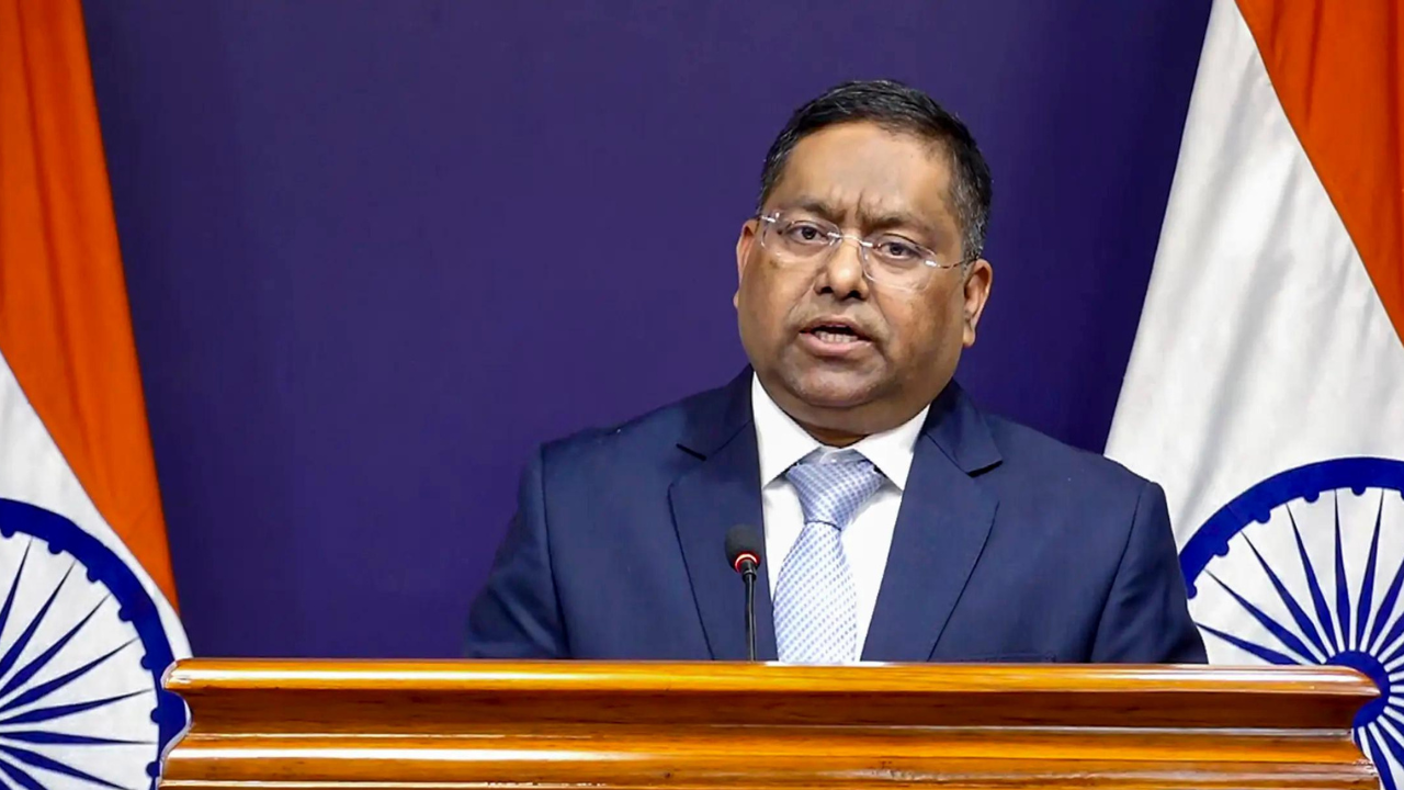
The Indian government has stated that any UN-backed map must accurately depict the country's territory. This statement comes as a response to the importance of representing India's geographical boundaries correctly on international maps.
The government's assertion emphasizes the need for precision in cartography, particularly when it comes to sensitive issues like national borders. India's territory has been a subject of dispute in the past, and the government wants to ensure that its boundaries are represented accurately to avoid any confusion or misinterpretation.
The United Nations, as an international organization, plays a significant role in promoting global understanding and cooperation. Its maps and publications are widely used as references, and it is essential that they reflect the accurate geographical information of member states. The Indian government's demand for accurate representation of its territory on UN maps is a step towards ensuring that the country's sovereignty and territorial integrity are respected.
India has had territorial disputes with its neighbors in the past, and the accurate representation of its borders is crucial in maintaining good relations with other countries. The government's statement highlights the importance of cartographic accuracy in international relations and the need for organizations like the UN to ensure that their maps reflect the correct geographical information.
The UN has a responsibility to ensure that its publications, including maps, are accurate and unbiased. The organization's maps are used by governments, researchers, and the general public, and any inaccuracies can have far-reaching consequences. The Indian government's demand for accurate representation of its territory on UN maps is a reminder of the importance of attention to detail in international cartography.
In the past, there have been instances where India's territory has been misrepresented on international maps. The government's statement is a step towards preventing such inaccuracies in the future. The demand for accurate representation of India's territory on UN maps is not just about national pride but also about ensuring that the country's sovereignty and territorial integrity are respected.
The Indian government's assertion has significant implications for international relations and cartography. It highlights the need for accuracy and attention to detail in representing geographical information, particularly when it comes to sensitive issues like national borders. The UN and other international organizations must take note of the Indian government's demand and ensure that their maps and publications reflect the accurate geographical information of member states.
In conclusion, the Indian government's demand for accurate representation of its territory on UN maps is a significant step towards ensuring that the country's sovereignty and territorial integrity are respected. The importance of cartographic accuracy in international relations cannot be overstated, and the UN and other international organizations must prioritize accuracy and attention to detail in their publications.
The government's statement is a reminder that accurate representation of geographical information is essential in maintaining good relations with other countries and promoting global understanding and cooperation. The Indian government's demand for accurate representation of its territory on UN maps is a step in the right direction, and it is essential that the UN and other international organizations take note of this demand and ensure that their maps and publications reflect the accurate geographical information of member states.
The issue of accurate representation of India's territory on UN maps is not just about national pride but also about ensuring that the country's sovereignty and territorial integrity are respected. The Indian government's assertion highlights the importance of cartographic accuracy in international relations and the need for organizations like the UN to ensure that their maps reflect the correct geographical information.
The demand for accurate representation of India's territory on UN maps has significant implications for international relations and cartography. It highlights the need for accuracy and attention to detail in representing geographical information, particularly when it comes to sensitive issues like national borders. The UN and other international organizations must take note of the Indian government's demand and ensure that their maps and publications reflect the accurate geographical information of member states.
The Indian government's statement is a step towards preventing inaccuracies in the representation of the country's territory on international maps. The demand for accurate representation of India's territory on UN maps is a reminder of the importance of attention to detail in international cartography and the need for organizations like the UN to prioritize accuracy and attention to detail in their publications.
In the future, it is essential that the UN and other international organizations ensure that their maps and publications reflect the accurate geographical information of member states. The Indian government's demand for accurate representation of its territory on UN maps is a significant step towards promoting global understanding and cooperation, and it is essential that the UN and other international organizations take note of this demand and prioritize accuracy and attention to detail in their publications.
The issue of accurate representation of India's territory on UN maps is crucial in maintaining good relations with other countries and promoting global understanding and cooperation. The Indian government's assertion highlights the importance of cartographic accuracy in international relations and the need for organizations like the UN to ensure that their maps reflect the correct geographical information.
The demand for accurate representation of India's territory on UN maps has significant implications for international relations and cartography. It highlights the need for accuracy and attention to detail in representing geographical information, particularly when it comes to sensitive issues like national borders. The UN and other international organizations must take note of the Indian government's demand and ensure that their maps and publications reflect the accurate geographical information of member states.
For India, the accurate representation of its territory on UN maps is a matter of national pride and sovereignty. The government's statement is a step towards ensuring that the country's territorial integrity is respected, and it is essential that the UN and other international organizations prioritize accuracy and attention to detail in their publications.
In conclusion, the Indian government's demand for accurate representation of its territory on UN maps is a significant step towards promoting global understanding and cooperation. The importance of cartographic accuracy in international relations cannot be overstated, and the UN and other international organizations must prioritize accuracy and attention to detail in their publications.
The government's statement is a reminder that accurate representation of geographical information is essential in maintaining good relations with other countries and promoting global understanding and cooperation. The Indian government's demand for accurate representation of its territory on UN maps is a step in the right direction, and it is essential that the UN and other international organizations take note of this demand and ensure that their maps and publications reflect the accurate geographical information of member states.
What it means for Mumbai or India is that the government is taking steps to ensure that the country's sovereignty and territorial integrity are respected. The demand for accurate representation of India's territory on UN maps is a significant step towards promoting global understanding and cooperation, and it is essential that the UN and other international organizations prioritize accuracy and attention to detail in their publications.
Frequently asked questions
Why is the Indian government demanding accurate representation of its territory on UN maps?
The Indian government is demanding accurate representation of its territory on UN maps to ensure that the country's sovereignty and territorial integrity are respected.
What are the implications of inaccurate representation of India's territory on UN maps?
Inaccurate representation of India's territory on UN maps can have far-reaching consequences, including confusion and misinterpretation of the country's geographical boundaries.