India Backs UN Resolution For Equal-Area World Maps
India supports UN move for accurate maps, stresses territorial boundaries must be depicted correctly.
'%3E%3Crect%20width%3D'96'%20height%3D'96'%20fill%3D'%234A235A'%2F%3E%3Ccircle%20cx%3D'30'%20cy%3D'24'%20r%3D'44'%20fill%3D'%23fff'%20opacity%3D'.12'%2F%3E%3Ccircle%20cx%3D'60'%20cy%3D'74'%20r%3D'40'%20fill%3D'%23000'%20opacity%3D'.10'%2F%3E%3C%2Fg%3E%3Cg%20fill%3D'none'%20stroke%3D'%23fff'%20stroke-width%3D'3'%3E%3Ccircle%20cx%3D'48'%20cy%3D'48'%20r%3D'16'%2F%3E%3Cellipse%20cx%3D'48'%20cy%3D'48'%20rx%3D'6.5'%20ry%3D'16'%2F%3E%3Cline%20x1%3D'32'%20y1%3D'42'%20x2%3D'64'%20y2%3D'42'%2F%3E%3Cline%20x1%3D'32'%20y1%3D'54'%20x2%3D'64'%20y2%3D'54'%2F%3E%3C%2Fg%3E%3C%2Fsvg%3E)
India has voted in favour of a United Nations General Assembly resolution that calls for more equitable representation of the world's regions on maps. The resolution, titled 'Correct the Map: Rebalancing Global Cartographic Representation and Promoting Equitable Representation of the World's Regions, Particularly Africa,' was adopted by the UN General Assembly on September 4.
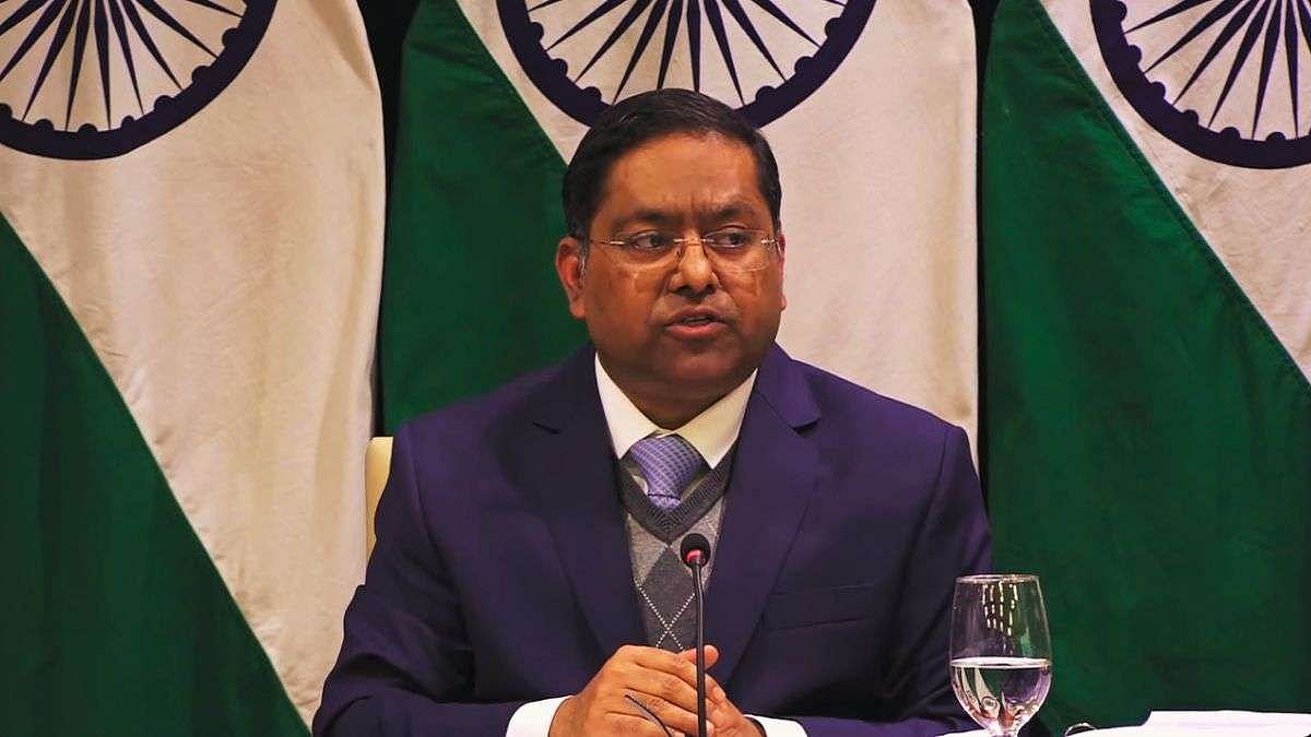
The Ministry of External Affairs spokesperson, Randhir Jaiswal, stated that India's support for the resolution is based on the principle of promoting equal-area cartographic representation. However, Jaiswal clarified that India's support should not be interpreted as an endorsement of any particular map projection or representation of national boundaries.
The resolution seeks to encourage the use of equal-area map projections that more accurately represent the relative sizes of continents and regions. This move is expected to promote a more accurate and equitable representation of the world's regions on maps.
Jaiswal stressed that India's sovereign territory, including the Union Territories of Jammu and Kashmir and Ladakh, must be shown as per the country's official map. He reiterated that any inaccurate or misleading depiction of India's territorial boundaries is unacceptable.
India's position on its sovereignty and territorial integrity remains clear, consistent, and non-negotiable. The country has always maintained that its territorial boundaries must be depicted strictly in accordance with its official map.
The adoption of this resolution is a significant step towards promoting a more accurate and equitable representation of the world's regions on maps. It is expected to have a positive impact on the way maps are created and used in the future.
In the context of India's geography and territorial boundaries, this resolution is particularly significant. The country has a long and complex border with several neighbouring countries, and accurate representation of its territorial boundaries is crucial for maintaining good relations with its neighbours.
The resolution is also expected to promote a greater understanding and awareness of the world's regions and their relative sizes. This can help to promote global cooperation and understanding, and can also help to reduce misunderstandings and conflicts that may arise from inaccurate or misleading representations of territorial boundaries.
Overall, India's support for the UN resolution on equal-area world maps is a significant step towards promoting a more accurate and equitable representation of the world's regions on maps. It reflects the country's commitment to promoting global cooperation and understanding, and its determination to protect its sovereignty and territorial integrity.
The move is also seen as a significant development in the field of cartography, and is expected to have a positive impact on the way maps are created and used in the future. It is a step towards creating a more accurate and equitable representation of the world's regions, and can help to promote global cooperation and understanding.
In conclusion, India's support for the UN resolution on equal-area world maps is a significant step towards promoting a more accurate and equitable representation of the world's regions on maps. It reflects the country's commitment to promoting global cooperation and understanding, and its determination to protect its sovereignty and territorial integrity.
Frequently asked questions
What is the purpose of the UN resolution on equal-area world maps?
The resolution aims to promote a more accurate and equitable representation of the world's regions on maps, particularly Africa.
How does India's support for the resolution affect its territorial boundaries?
India's support for the resolution does not imply an endorsement of any particular map projection or representation of national boundaries, and the country stresses that its territorial boundaries must be depicted strictly in accordance with its official map.