
Mumbai Neighbourhoods & Geography: A Local Guide
A local's guide to how Mumbai is laid out — Colaba to Navi Mumbai and the wider MMR. Understand the railway lines, key neighbourhoods and how to get around.
'%3E%3Crect%20width%3D'96'%20height%3D'96'%20fill%3D'%23E65100'%2F%3E%3Ccircle%20cx%3D'30'%20cy%3D'24'%20r%3D'44'%20fill%3D'%23fff'%20opacity%3D'.12'%2F%3E%3Ccircle%20cx%3D'60'%20cy%3D'74'%20r%3D'40'%20fill%3D'%23000'%20opacity%3D'.10'%2F%3E%3C%2Fg%3E%3Cg%3E%3Ccircle%20cx%3D'48'%20cy%3D'48'%20r%3D'15'%20fill%3D'none'%20stroke%3D'%23fff'%20stroke-width%3D'3'%2F%3E%3Cpath%20fill%3D'%23fff'%20d%3D'M48%2037%20l3.5%2011%20-3.5%2011%20-3.5%20-11%20z'%2F%3E%3Ccircle%20cx%3D'48'%20cy%3D'48'%20r%3D'2.2'%20fill%3D'%23fff'%2F%3E%3C%2Fg%3E%3C%2Fsvg%3E)
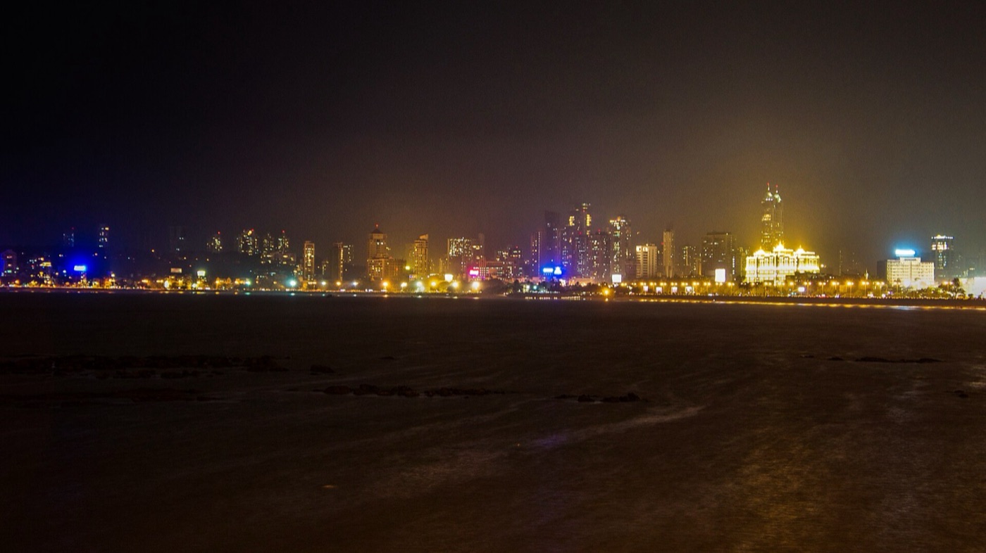
Photo: Av9 · CC BY-SA 4.0 · via Wikimedia Commons
Mumbai looks chaotic on a map until you understand one thing: the city runs north–south along a thin strip of reclaimed land, and almost everything about how people live, commute and pay rent flows from that shape. Once you grasp the spine, the rest of the city clicks into place. Learn to think in railway lines instead of districts, and you will read the map the way a local does.
The three lines at a glance
Mumbaikars locate themselves by line and station, not postcode. Here is the skeleton of the whole region on one screen.
| Line | Runs from → toward | Key stations | Character |
|---|---|---|---|
| Western | Churchgate → Borivali/Virar | Bandra, Andheri, Borivali | Aspirational, glamorous, cafe-and-boutique |
| Central | CSMT → Kalyan/Kasara | Dadar, Kurla, Ghatkopar, Thane | Working backbone, Maharashtrian heart |
| Harbour | CSMT → Panvel/Navi Mumbai | Chembur, Vashi, Belapur | Docks, industry, planned satellite city |
Add the growing Metro network and the sea-spanning bridges, and you have the frame. Now let us walk it, south to north.
The big picture: a city on a sliver
Mumbai sits on what were once seven separate islands, joined over centuries by land reclamation. The result is a long, narrow peninsula with the Arabian Sea on the west and the harbour on the east. Because the land is so thin, the local railway lines became the true axes of the city, and Mumbaikars still describe where they live by their line rather than by district. Three suburban corridors carry it: the Western Line up the western flank, the Central Line to the north-east, and the Harbour Line toward the docks and across the creek to Navi Mumbai.
South Mumbai (SoBo): the old heart
Locals call it SoBo, short for South Bombay — the colonial and financial core, the postcard Mumbai of stone arches and sea promenades. It is also the most expensive real estate in the country, with prime flats routinely crossing several crore rupees.
Colaba & Fort
The southern tip. Colaba Causeway is a browsing bazaar of clothes, jewellery and knick-knacks, with the Gateway of India and the Taj at its foot. Just north, Fort holds heritage banks, bookshops and the university precinct. Come early evening for the light on the buildings; a filter coffee or an Irani-cafe bun-maska costs very little and buys you an hour of atmosphere.
Marine Drive & Nariman Point
The famous curve of the Queen’s Necklace. Nariman Point remains a corporate address, though much of the finance world has drifted to newer complexes. Marine Drive itself is free, open all night, and the most democratic place in the city to sit by the sea.
Churchgate, CST & Kala Ghoda
The two great terminus stations anchor the tip. Kala Ghoda is the arts quarter, at its liveliest during its February festival, with galleries, cafes and the Jehangir Art Gallery nearby.
The Western suburbs: where the city feels aspirational
Head north on the Western Line and the mood shifts from heritage to hustle and glamour.
Bandra
The undisputed cool kid. Bandra West mixes old Portuguese-era villas and quiet lanes (Chapel Road, Ranwar) with a dense cafe and boutique scene around Hill Road and Linking Road. It is home to film stars, which keeps rents high and the people-watching excellent. Bandra East, by contrast, houses the sprawling Bandra-Kurla Complex (BKC), the city’s newer business district. Best time to wander Bandra West: a weekend morning, before the shopping crowds build.
Juhu & Versova
Juhu Beach is the classic seaside evening out — chaotic and full of bhelpuri and pav-bhaji stalls, a plate of chaat running to modest double-digit rupees. Nearby Versova has a quieter beach and a strong Koli (fisherfolk) community whose seafood is worth seeking out.
Andheri
The suburb that does everything. Andheri West is a residential and nightlife hub; Andheri East holds the airport, MIDC offices and the SEEPZ tech zone. It is a major interchange for the Western Line, Metro and airport, which makes it central to how the working city moves.
Further north: Goregaon to Borivali
Goregaon has Film City and the enormous Sanjay Gandhi National Park on its edge — one of the few big-city forests in the world, home to leopards and the ancient Kanheri Caves. As you go north through Malad, Kandivali and Borivali, flats get relatively more affordable and family-oriented, while staying well connected.
The Central suburbs: the working backbone
The Central Line threads through the neighbourhoods that keep Mumbai running.
Dadar
The true crossroads of the city, where Western and Central lines meet. Dadar is Maharashtrian at heart, with Shivaji Park (a cradle of Indian cricket), the vast flower market near Dadar station, and no-nonsense eateries serving vada-pav and thalis. It is the place to feel the everyday, unfiltered city.
Matunga
Just south of Dadar, a pocket of South Indian culture, famous for its filter-coffee-and-dosa breakfast joints around the market and King’s Circle. A South Indian breakfast here is one of the best-value meals in Mumbai.
Kurla, Ghatkopar & beyond
Kurla is a busy junction and the gateway to BKC from the Central side. Ghatkopar has become a dining and Metro hub, especially known for its Gujarati and street-food scene. Further out, Mulund and Thane mark where the city blurs into greener, more spacious living.
The Harbour Line & eastern suburbs
The Harbour Line runs toward the docks and industrial east.
- Chembur — once known for refineries, now a solid residential suburb with good connectivity via the Eastern Freeway and Monorail.
- Wadala & Sewri — Sewri’s mudflats draw flocks of flamingos between roughly November and March, a genuinely surprising bit of wilderness beside the port. Go at low tide, mid-morning, and bring binoculars.
- Vashi onward — the Harbour Line crosses the creek here into Navi Mumbai.
Navi Mumbai: the planned twin
Across the harbour lies Navi Mumbai, a planned satellite city built from the 1970s to relieve pressure on the island city. It is laid out in orderly “nodes” — Vashi, Nerul, Belapur, Kharghar, Panvel — with wider roads and greener layouts than the old city can offer. Kharghar is known for its hills and Central Park; Belapur is the administrative centre. Property here is generally more affordable per square foot than comparable island-city addresses, which is why so many families have moved east. The new Navi Mumbai International Airport and the Atal Setu sea bridge (the long trans-harbour link to Sewri) have pulled this side of the water much closer to the mainland.
The MMR: the region beyond the city
Zoom out and Mumbai is really the core of the Mumbai Metropolitan Region (MMR), a sprawling web of connected towns:
- Thane — a large city in its own right, with lakes (Upvan, Masunda), malls and fast-growing residential belts.
- Kalyan–Dombivli — dense, long-established railway towns on the Central Line.
- Mira-Bhayandar & Vasai-Virar — the northern Western-Line frontier, popular for value housing.
- Panvel — the southern gateway toward Pune and the Konkan coast.
For most residents, the MMR is Mumbai; the municipal boundary is just a line on a map.
How locals actually get around
- Local trains are the lifeline — astonishingly cheap and fast, but genuinely packed at peak. If you are new, avoid roughly 8–11 am and 6–9 pm, and note the separate men’s and women’s compartments.
- Metro lines are air-conditioned and increasingly link east–west gaps the old trains never covered, easing the Andheri–Ghatkopar and other cross-town journeys.
- Autos and taxis — autorickshaws run in the suburbs (north of roughly Bandra/Sion), while the older black-and-yellow taxis rule South Mumbai. App-based cabs work everywhere; budget for surge pricing in the rains.
- BEST buses cover the gaps cheaply and are a great slow way to learn the geography.
- Ferries run from the Gateway to Elephanta and Alibaug, a lovely way to see the harbour.
A rough rule: the further north or across the creek you go, the more space and value you get, and the longer your commute back to SoBo becomes. Mumbaikars spend their lives balancing that trade-off — in this city, time, not kilometres, is the real measure of distance.
Where to base yourself, by priority
Different neighbourhoods solve different problems, so choose by what matters most to you:
- Heritage and walkability: South Mumbai — Colaba, Fort, Churchgate. You’ll pay the most and sit furthest from the airport, but the sea, the architecture and the cafes are all on foot.
- Nightlife, food and cool factor: Bandra West. The suburbs’ cultural heart, endlessly walkable, superbly connected by the Western line and Metro.
- Airport and business: Andheri or the BKC–Kurla belt. Central to the working city, strong on transport interchanges, if short on postcard charm.
- Space and value: the northern Western suburbs (Malad, Kandivali, Borivali), the far Central line (Mulund, Thane) or Navi Mumbai — more square footage per rupee, at the cost of a longer commute back to SoBo.
How to read a Mumbai address
Locals decode an address by anchoring it to the nearest station and line, then to a landmark. “Off Linking Road, near National College, Bandra West” tells a Mumbaikar the exact pocket faster than any pin code. When you ask for directions or brief a cab, lead with the station and a well-known landmark rather than the street name — most autos and taxis navigate by landmark, not by numbers. Get comfortable naming your nearest station and one big landmark beside it, and the whole city becomes legible.
The rhythm of the commute
The single biggest fact of Mumbai life is the daily north–south commute, and it shapes every neighbourhood decision. The city empties southward toward SoBo and BKC in the morning and refills northward in the evening, which is why trains going against the flow are far more bearable than those with it. A home near a junction or interchange — Dadar, Kurla, Andheri, Ghatkopar — buys you options the deeper single-line pockets don’t have. And the Metro is steadily rewriting the map: routes that once meant an hour of road now take twenty air-conditioned minutes, which is quietly making previously awkward east–west neighbourhoods far more liveable.
Plan your move: the insider wrap-up
If you are getting to know Mumbai, start by identifying your line and your nearest station, then think in terms of “up the line” and “down the line” the way locals do. Base yourself around Bandra or Andheri for the best mix of connectivity and character, keep a train app and a cab app on your phone, and plan journeys around peak hours rather than distance. Learn the spine — Western, Central, Harbour — and the whole map opens up.
Frequently Asked Questions
How is Mumbai laid out geographically?
Mumbai is a long, narrow peninsula running north–south on reclaimed land, with the Arabian Sea to the west and the harbour to the east. Three suburban railway lines — Western, Central and Harbour — form the city's true axes, and locals describe where they live by their line rather than by district.
Which area is best to stay in for a first visit to Mumbai?
Bandra or Andheri offer the best mix of connectivity and character — well-linked by train, Metro and road, with strong food and cafe scenes. South Mumbai (Colaba, Fort) suits heritage-focused visitors but costs more and sits further from the airport.
What is the difference between South Mumbai, the suburbs and Navi Mumbai?
South Mumbai (SoBo) is the old colonial and financial core — the most expensive real estate. The Western and Central suburbs run north and hold most of the city's population. Navi Mumbai is a planned satellite city across the harbour with wider roads and more affordable housing.
How do locals get around Mumbai?
Suburban local trains are the lifeline — cheap and fast but packed at peak hours. The growing Metro adds air-conditioned east–west links, black-and-yellow taxis rule South Mumbai, autos serve the suburbs, BEST buses fill gaps, and app cabs work everywhere with monsoon surge pricing.